Project abstract: Knowledge commons for ecological resilence. The case for the Caribbean Institute of Oceanography (ICO)
Abstract
Spatial data about the World Ocean captured from satellites is an important wealth of information to understand climate change, the Great Atlantic Sargassum Belt (GASB) and the Great Pacific Garbage Patch. In this project, knowledge, information, and data resources about the Ocean shared by the oceanographic community are considered a common-pool resource. As a knowledge common, oceanographic knowledge and information are subject to social dilemmas such as the “tragedy of the commons” or the “prisoner’s dilemma”, causing pollution, overharvesting and deterioration. Ocean’s knowledge commons are prone to lack of cooperation reagarding its developmen and sharing.
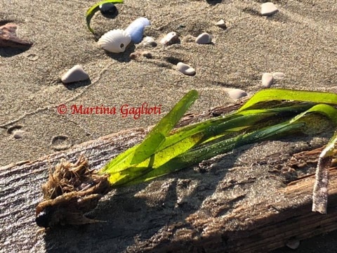
Particularly, anthropogenic sargassum has become epidemic in the Caribbean Sea. These new epidemics are associated with nutrients just off the coast of Brazil, as a direct consequence of deforestation of the Amazon coupled with overloading of fertilisers into the Atlantic Ocean. The Great Atlantic Sargassum Belt (GASB) is a mass of sargassum in the Atlantic Ocean, and is the largest macroalgae bloom in the world. By 2023, the GASB is estimated to weigh about 5.5 million metric tonnes and extends 5,000 miles (8,000 km), stretching from West Africa to the Gulf of Mexico. It is alive and host great biodiversity. Sargassum when alive is a natural source of blue carbon, nevertheless when it dies reach coastal ecosystems and excess nitrogen may cause eutrophication of coastal and lagoon ecosystems. Spatial data from the GASB is crucial to its forecasting and conservation. When sargassum dies, mangroves in the costs become an important sink for sargassum’s nitrogen. Mangroves are also very important to coral reefs ecosystems. Mangroves forests can be consider a nature based infraestructure. It regulates the tides and control floods, specially during hurricane season. Mangroves are also an important source of ecosytem services to local population. It is a main source of non-timber forestry products and seafood. At the same time, mangroves are carbon and nitrogen sinks. The project aims to research the sargassum-mangrove interaction for landscape rehabilitation. Oceanographic knowledge is virtually non-existent in situ in the Caribbean. It is mainly on oceanographic centers in Europe and the United States. The project look for a dialogue of how local universities in Quintana Roo, Mexico, can play a role in the governance of knowledge and information commons produced by spatial technologies about the Ocean. The project proposes the creation of the Instituto Caribeño de Oceanografía (ICO in Spanish), for international cooperation, technological and knowledge tranfer needed in the forecasting and treatment of sargassum and mangrove rehabilitation. The ICO will be located in Quintana Roo, Mexico, and serve the Mesoamerican Barrier Reef System (MBRS), also known as the Great Mayan Reef. The MBRS is a marine region that stretches over 1,126 kilometres (700 mi) along the coasts of Mexico, Belize, Guatemala, and Honduras. The reef system includes various protected areas and parks including the Belize Barrier Reef, Arrecifes de Cozumel National Park, Hol Chan Marine Reserve (Belize), Sian Ka’an biosphere reserve, and the Cayos Cochinos Marine Park.